Best Winter Waterfall Hikes in North America (2026)
Seven frozen waterfall hikes — Multnomah to Tahquamenon. Mileage, GPS, microspike vs crampon needs, freeze windows, and the road closures that block access.

This post may contain affiliate links. Disclosure
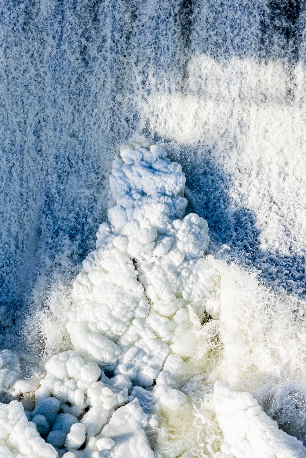
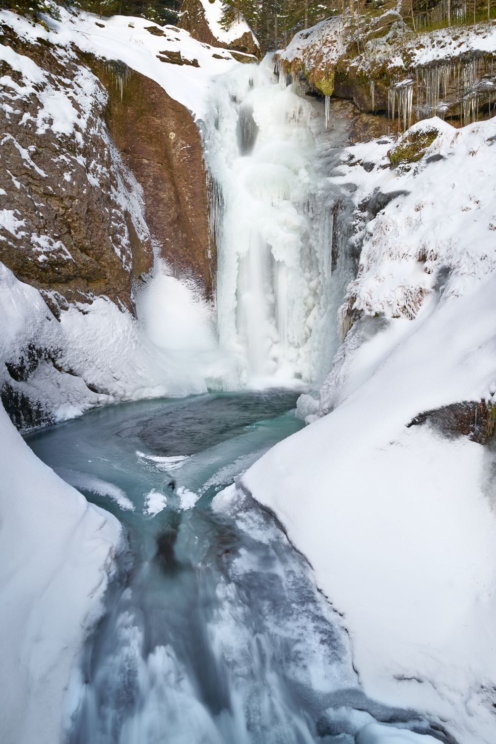
A waterfall in July is a waterfall. A waterfall in January, with the spray frozen mid-arc into pale blue columns and the access trail glazed under three inches of clear ice, is something else entirely. This guide is for hiking to those falls — not climbing them. If you want to swing an ice axe into a frozen pillar, read our ice climbing for beginners guide instead. The seven hikes below range from a paved viewpoint at Niagara to a 4.8-mile snowshoe at Tahquamenon. All seven have a viewing window between mid-December and mid-March, all seven sit behind a road that can close, and every one will put you on your back in regular boots.
How to Read This Guide
Each fall lists round-trip distance, elevation gain, the GPS coordinate for the trailhead, the typical freeze window in months, road access notes (several of these falls sit behind seasonal gate closures), and a traction call: microspikes, crampons, or snowshoes. Microspikes (chains with 3/8-inch carbide spikes) handle 95 percent of these hikes. Crampons are only needed when you leave a packed boot track and step onto sustained 30-degree-plus ice — none of these are technical hikes, but a few side viewpoints get there. Snowshoes are required when fresh powder exceeds 8-10 inches and the boot track has not been broken. A standard kit for every hike on this list: insulated boots rated to 0°F, Kahtoola-style microspikes sized to your boots, carbide-tipped trekking poles (our full poles guide covers winter-specific tips), and a Garmin inReach Mini 2 for the cellular dead zones — half these trailheads have no signal.
1. Frozen Falls Worth the Hike — Seven Picks
Multnomah Falls — Columbia River Gorge, Oregon
Multnomah is 620 feet of two-tiered cascade, twenty-five minutes east of Portland on I-84, and the most photographed waterfall in the Pacific Northwest. The hike to the top via the paved Larch Mountain Trail is 2.2 miles round-trip with 600 feet of gain across eleven switchbacks (trailhead GPS: 45.5762, -122.1158). Benson Bridge at the 0.2-mile mark is the classic mid-falls viewpoint. In winter the trail is unmaintained — the mist from the falls glazes the upper switchbacks into a continuous sheet of ice, and per Travel Oregon hikers should expect “rain, mist, ice, hardened and steeply inclined snowpack, rock slides and windfallen trees.”
Viewing window: Mid-December through February for ice formations on the lower pool. The fall itself rarely freezes completely.
Traction: Microspikes mandatory above Benson Bridge. Hikers report routinely turning back without them.
Road access: I-84 Exit 31 stays open year-round; the Historic Columbia River Highway is the alternate scenic route but ices over.
Tahquamenon Falls (Upper) — Paradise, Michigan
Tahquamenon’s Upper Falls is the largest cascade east of the Mississippi by volume — 200 feet wide, 48 feet tall, the color of root beer from tannins leached out of the cedar swamps upstream. In winter the spray builds 30-foot ice cones that climb halfway up the falls face. The standard winter route is the Upper Falls boardwalk loop (0.6 miles, paved and flat, GPS: 46.5755, -85.2554) for the headline view. For a real hike, the River Trail to Lower Falls runs 4.8 miles one-way between the two falls along the Tahquamenon River — Michigan DNR considers this the most scenic trail in the state park system. The park grooms nine miles of marked snowshoe trail.
Viewing window: Late January through early March is the peak ice build. The park hosts lantern-lit snowshoe tours on select February Saturdays — free, registration required.
Traction: Microspikes for the boardwalk loop. Snowshoes mandatory on the River Trail — the park requires them and prohibits postholing the groomed track.
Road access: M-123 stays plowed; the park is open year-round. The annual snowfall here averages 106 inches, so check conditions before you commit to the River Trail.
Bond Falls — Ontonagon County, Upper Michigan
Bond Falls is a 100-foot-wide, 50-foot-tall stair-step cascade on the middle branch of the Ontonagon River, two hours west of Marquette. The hike is the 1.0-mile Bond Falls Loop along both sides of the river (trailhead GPS: 46.4395, -89.1342), connected by a footbridge at the top. The boardwalk is the killer in winter — wood plus mist plus subzero temps equals a polished ice surface, and the park does not groom or sand it.
Viewing window: Mid-February through early March, after several consecutive sub-20°F weeks. Per local guidance the falls rarely freeze fully — expect a partially frozen cascade with active water visible through ice curtains.
Traction: Microspikes mandatory the entire loop. Falls are slick well past the boardwalk handrails.
Road access: Bond Falls Road (CR-525) off US-45 stays plowed, but the last 0.2 miles into the parking area can drift. AWD recommended after fresh snow.
Crabtree Falls — Blue Ridge Parkway, Virginia
The Forest Service Crabtree Falls in Nelson County (not the smaller NPS one at Milepost 339.5 in North Carolina) is a five-tier cascade dropping 1,200 vertical feet — the tallest east of the Mississippi. The lower viewing platform is 0.25 miles round-trip with 50 feet of gain; the full trail to the upper falls is 3.4 miles round-trip with 1,090 feet of gain (trailhead GPS: 37.8506, -79.0789). Winter strips the leaves off the surrounding hardwoods and opens sight lines you never get in summer green. The trail itself can be treacherous — ice from spray and freeze-thaw cycles makes the upper switchbacks genuinely dangerous.
Viewing window: January through mid-February for full ice on the upper tiers. Lower platform good any clear winter day.
Traction: Microspikes for the lower platform after any precipitation. Microspikes plus poles for the full upper hike — the NPS warns that the trail “ascends through rocky terrain and can be very slippery.”
Road access: VA-56 stays open year-round. Critical caveat: the Blue Ridge Parkway itself closes long sections from December through March — check the BRP road closure map before routing through it. You can always approach Crabtree from VA-56 even when the Parkway is gated.
Horsetail Fall — Yosemite Valley, California
Horsetail is a 1,575-foot ephemeral fall on the east face of El Capitan. It only flows from late December through April, and for roughly two weeks in mid-to-late February the setting sun aligns with the falls and lights it up molten orange for ten to fifteen minutes before sundown — Yosemite’s natural firefall. There is no hike to the base. The viewpoint is at the El Capitan Picnic Area, 1.5 miles each way from Yosemite Falls parking on a paved road that is closed to private vehicles during firefall weeks (GPS for viewing area: 37.7280, -119.6383). Effectively a 3-mile out-and-back stroll, no elevation.
Viewing window: Per the National Park Service, February 11-26, 2026, with peak alignment around February 22. Needs three conditions: deep enough snowpack to feed the fall, clear western horizon, and the right sun angle.
Traction: Microspikes if recent snow. Mostly paved, but Yosemite Valley sees freeze-thaw daily in February.
Road access: No reservations required for February 2026 — expect heavy crowds. Tioga Pass and Glacier Point Road are closed in winter, but Highway 140 and 41 into the Valley stay open.
Niagara Falls — New York State Park, NY
Niagara never fully freezes — the volume is too high — but the gorge walls, the railings, and the spray zone build up dramatic ice formations from late December through February. The walkable winter access is the Niagara Gorge Trail and Cave of the Winds elevator (the Hurricane Deck boardwalk is dismantled October through May to protect it from ice damage). From the visitor center, Prospect Point to Terrapin Point is roughly 1 mile round-trip on paved walkways (GPS for Terrapin Point: 43.0794, -79.0744). The elevator drops 175 feet into the gorge for a partial winter Cave of the Winds experience.
Viewing window: Mid-January through mid-February for the heaviest ice. Best after a week of sustained sub-20°F temps.
Traction: Microspikes are not optional. The pavement closest to the falls turns into a skating rink from spray — park rangers will literally hand out Yaktrax-style traction at the visitor center on the coldest days.
Road access: Robert Moses Parkway and I-190 plowed and open. The state park entrance is free; Cave of the Winds runs reduced winter rates.
Roaring Brook Falls — Keene Valley, Adirondacks, New York
Roaring Brook drops 400 feet in three pitches off the southwest shoulder of Giant Mountain, visible from Route 73 as you head north from Chapel Pond. Hikers (not climbers) take the snowshoe approach from the Giant Mountain trailhead (GPS: 44.1568, -73.7506) for a 1.0-mile round-trip with 250 feet of gain to the base. The cascade freezes into pillars, columns, and chandelier formations — per Adirondack Explorer it’s “a kaleidoscope of shapes” in deep winter. Do not hike to the top in winter — the cliff edge above the falls is unmarked, and stepping on the frozen water at the top has killed people.
Viewing window: Mid-January through mid-March. The Adirondacks reliably freeze; this is the most consistent fall on the list.
Traction: Snowshoes for the approach (the path is rarely broken on weekdays). Microspikes if you arrive after a weekend and the boot track is firm.
Road access: NY-73 is a state-maintained primary route and stays plowed. Trailhead parking is free; expect overflow on weekends because this lot also serves Giant Mountain.
Reading Ice Conditions Before You Commit
Two diagnostics save more winter hikes than any gear purchase. First, check the National Weather Service forecast discussion for the nearest station and look at the dewpoint trend — freezing rain happens when surface temps are below freezing but air above is warmer, which is exactly when these waterfall trails turn to bulletproof clear ice that microspikes can barely bite. If you see freezing-rain language for the 24 hours before your hike, push the trip a day. Second, check the state park or NPS visitor center the morning of — most of these falls have a phone number staffed at 8 a.m., and rangers will tell you straight when conditions exceed microspikes. Tahquamenon: (906) 492-3415. Niagara: (716) 278-1796. Yosemite: (209) 372-0200. Blue Ridge Parkway road status: (828) 298-0398.
Gear That Decides Your Day
For everything on this list, three items are the difference between a memorable hike and an ER visit. Sized microspikes in your pocket the entire hike — not in your pack, in your pocket, because you will hit a 10-foot ice patch suddenly and need them within 30 seconds. Trekking poles with carbide winter tips (not the rubber summer caps) for any boardwalk or stair section. A satellite communicator for the dead zones — Roaring Brook Falls, Bond Falls, Tahquamenon, and the upper Crabtree Falls trail all have spotty-to-zero cell. None of these are technical hikes, but a twisted ankle on the Crabtree switchbacks in February with the temp dropping through the 20s is how people die hiking easy waterfalls. For the full layering and traction system, see our winter desert hiking guide — the cold-weather kit overlaps almost completely.
When to Go vs When to Stay Home
The single biggest scheduling mistake on these hikes is showing up in early December or late March. Early December the ice has not built yet — you get cold mud, brown leaves, and partially flowing falls with no formations. Late March the freeze-thaw cycle is in full swing and trails become a daily lottery between firm boot track and waist-deep slush. Mid-January through mid-February is the sweet spot for all seven falls on this list. Within that window, target the day after a clear high-pressure system has parked over the region for 36+ hours — temps are cold but stable, no fresh wet snow on the trail, and the light angle is the lowest of the year, which is what makes the ice glow blue in photos. Avoid the day after a warm front and avoid the day of any active winter storm warning.
The other rule: arrive early. Trailhead parking lots for Multnomah, Yosemite firefall, and Niagara fill by 9 a.m. on weekends throughout the viewing window. The lesser-known falls — Bond, Roaring Brook, the upper Crabtree — stay empty even on a Saturday in February, which is half the reason they made the list.
Related Reading
- Best Slot Canyon Hikes in Utah (2026) — the desert counterpart to this guide: seven non-technical canyon day hikes with permits, GPS, and flash-flood windows.
- Best Headlamps for Night Hiking & Caving (2026) — short winter days mean you’ll start or end in the dark; here’s the lumen and battery math.
- Adventure Travel Safety: Essential Guide — emergency comms, insurance, and the pre-trip checklist that catches what microspikes can’t.
Get the best ThrillStays tips in your inbox
Weekly guides, deals, and insider tips. No spam, unsubscribe anytime.